


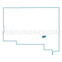
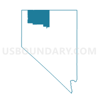
HUMBOLDT PRECINCT 15, Humboldt County, Nevada
About
Outline

Summary
| Unique Area Identifier | 615336 |
| Name | HUMBOLDT PRECINCT 15 |
| County | Humboldt County |
| State | Nevada |
| Area (square miles) | 23.28 |
| Land Area (square miles) | 23.26 |
| Water Area (square miles) | 0.02 |
| % of Land Area | 99.93 |
| % of Water Area | 0.07 |
| Latitude of the Internal Point | 41.09684970 |
| Longtitude of the Internal Point | -117.63916620 |
Maps

Graphs
Select a template below for downloading or customizing gragh for HUMBOLDT PRECINCT 15, Humboldt County, Nevada


Neighbors
Neighoring Voting District (by Name) Neighboring Voting District on the Map
- Voting District 12, Humboldt County, NV
- Voting District 9, Humboldt County, NV
- HUMBOLDT PRECINCT 14, Humboldt County, NV